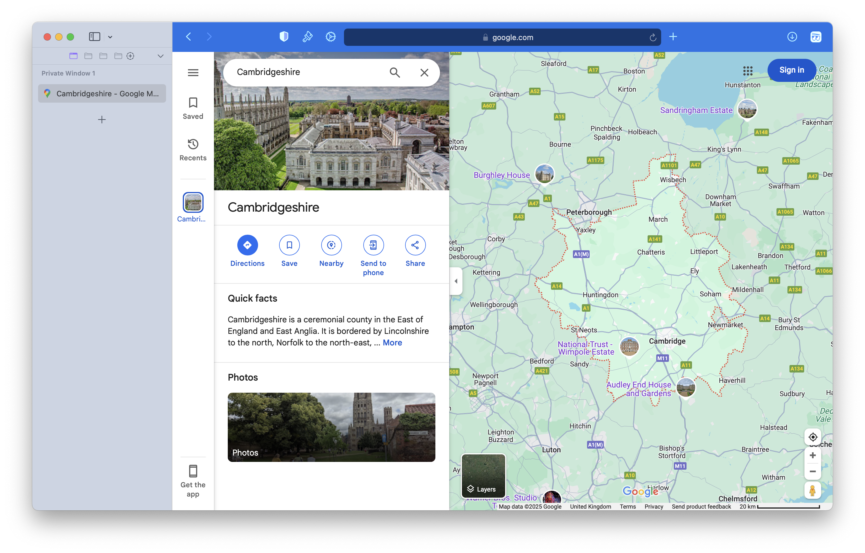
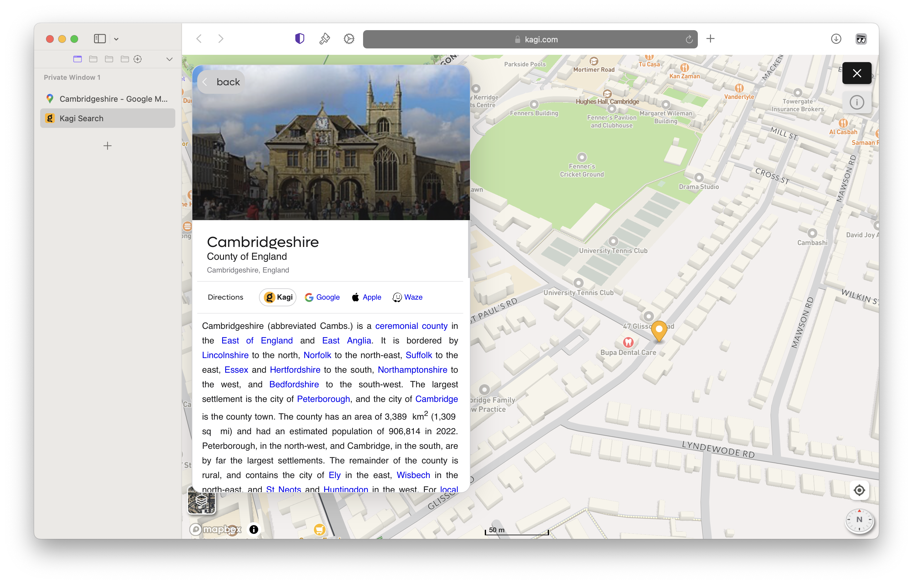
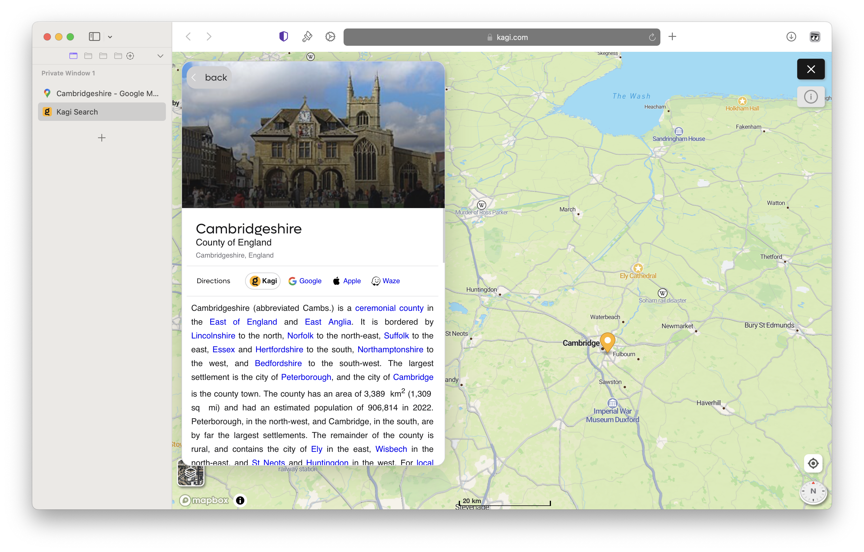
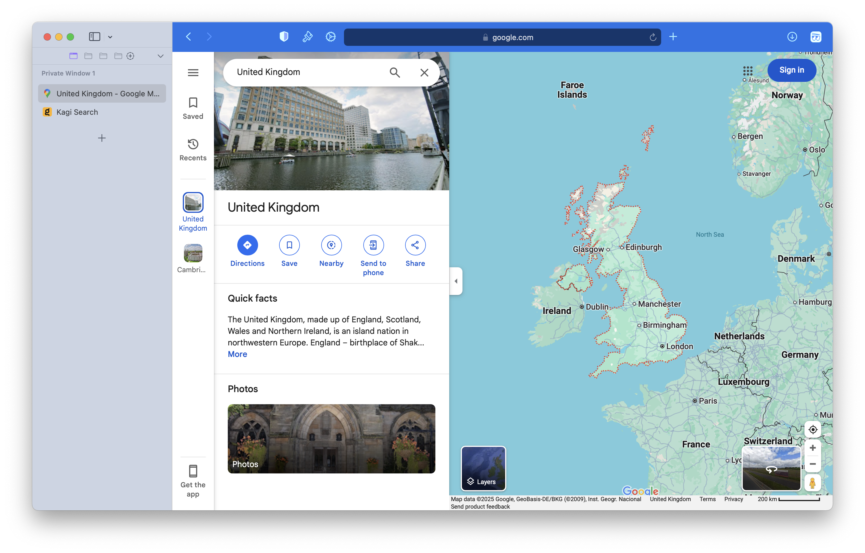
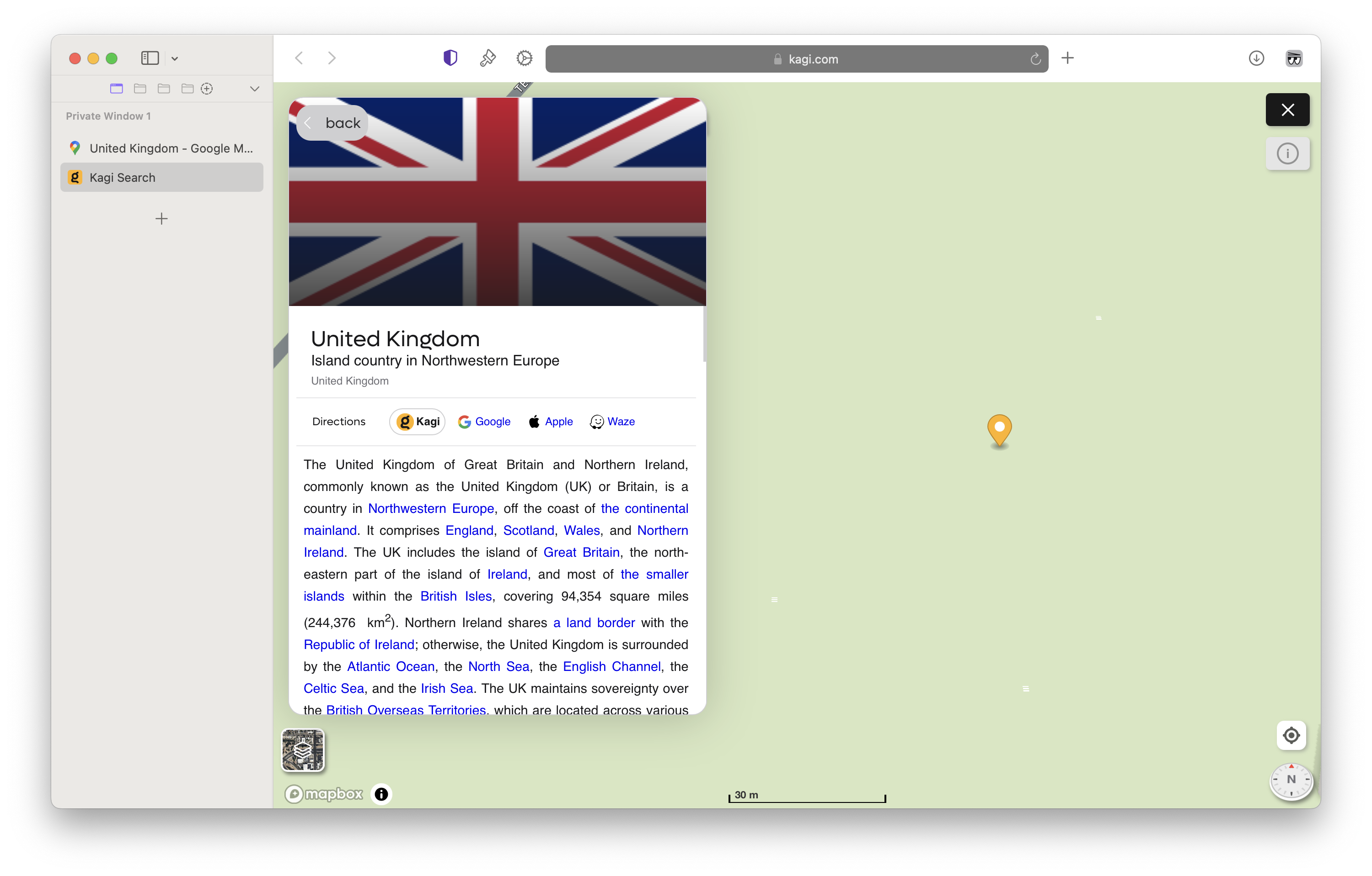
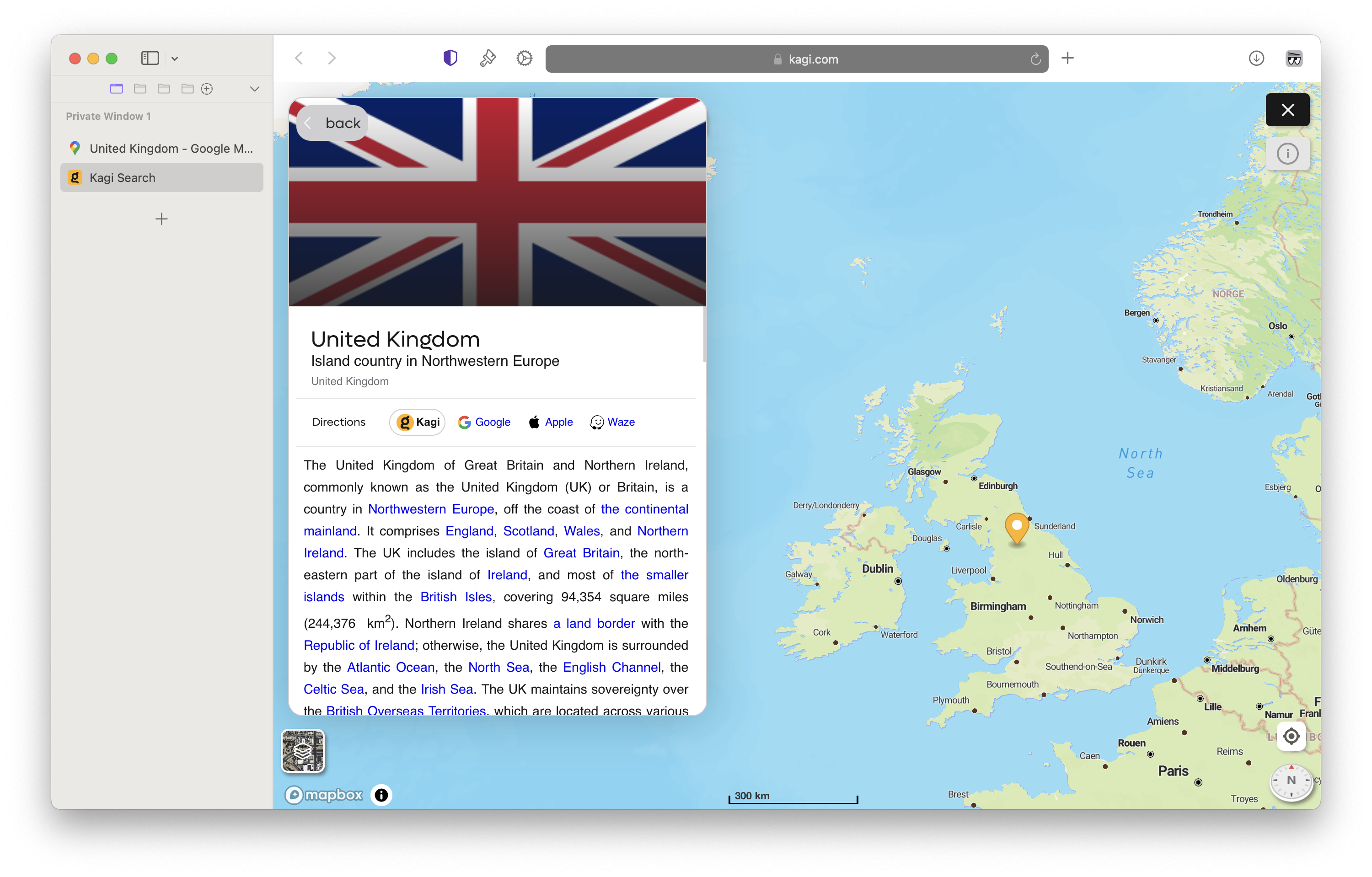
I feel that when searching a region, a zoomed out version of that area should first be shown — with its full area outlined to show its position within the greater area around it. Google does this well. Importantly, it is not just that Kagi Maps shows a non-outlined area: it initially displays an ultra-zoomed-in position on the map on an arbitrary point (maybe the location's centre?). Below are some examples.
Cambridgeshire, Google
Cambridgeshire, Kagi Initial
Cambridgeshire, Kagi Zoomed Out (zoomed out manually to an arbitrary point by me)
UK, Google
UK, Kagi Initial
UK, Kagi Zoomed Out (zoomed out manually to an arbitrary point by me)
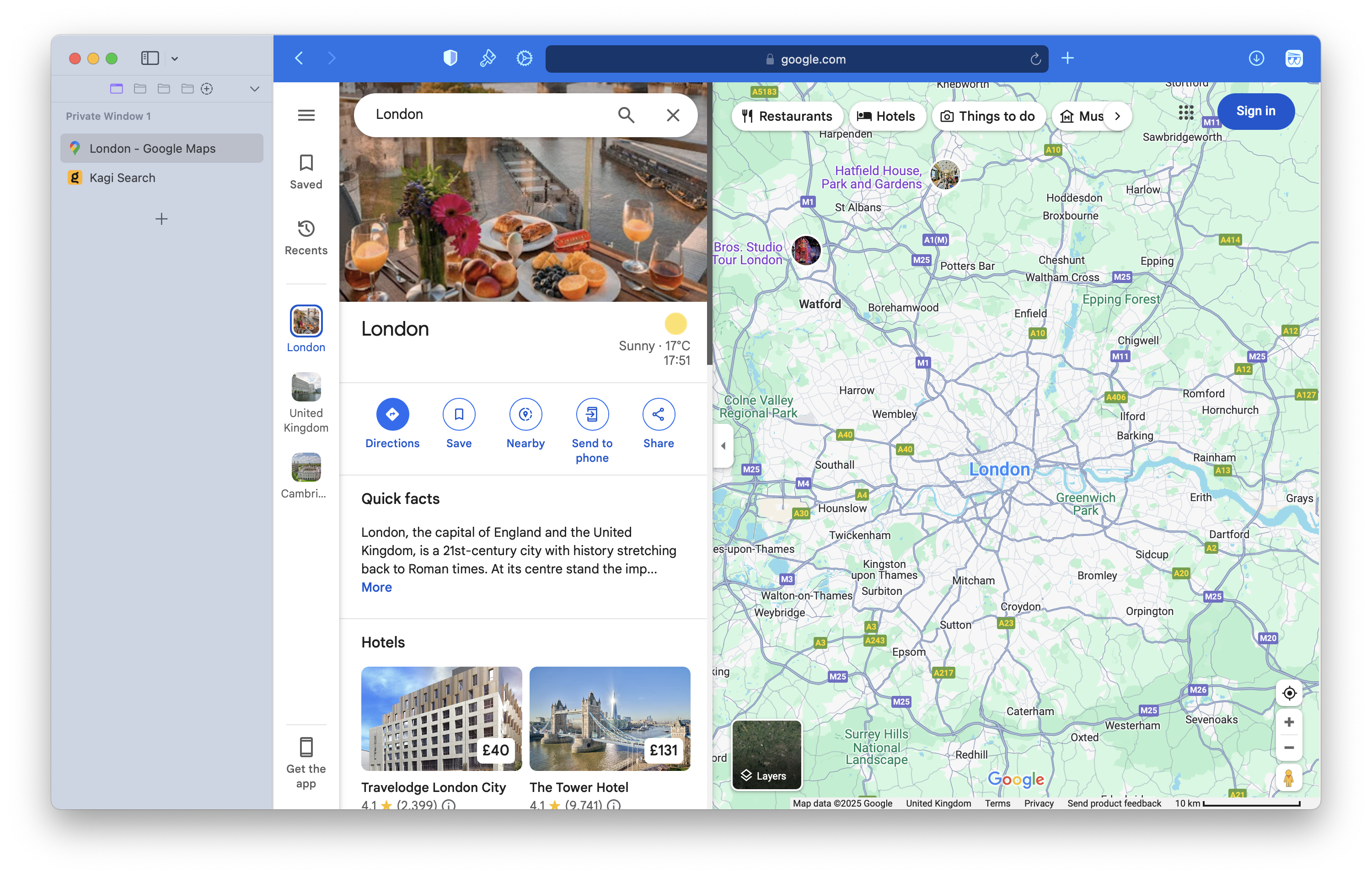
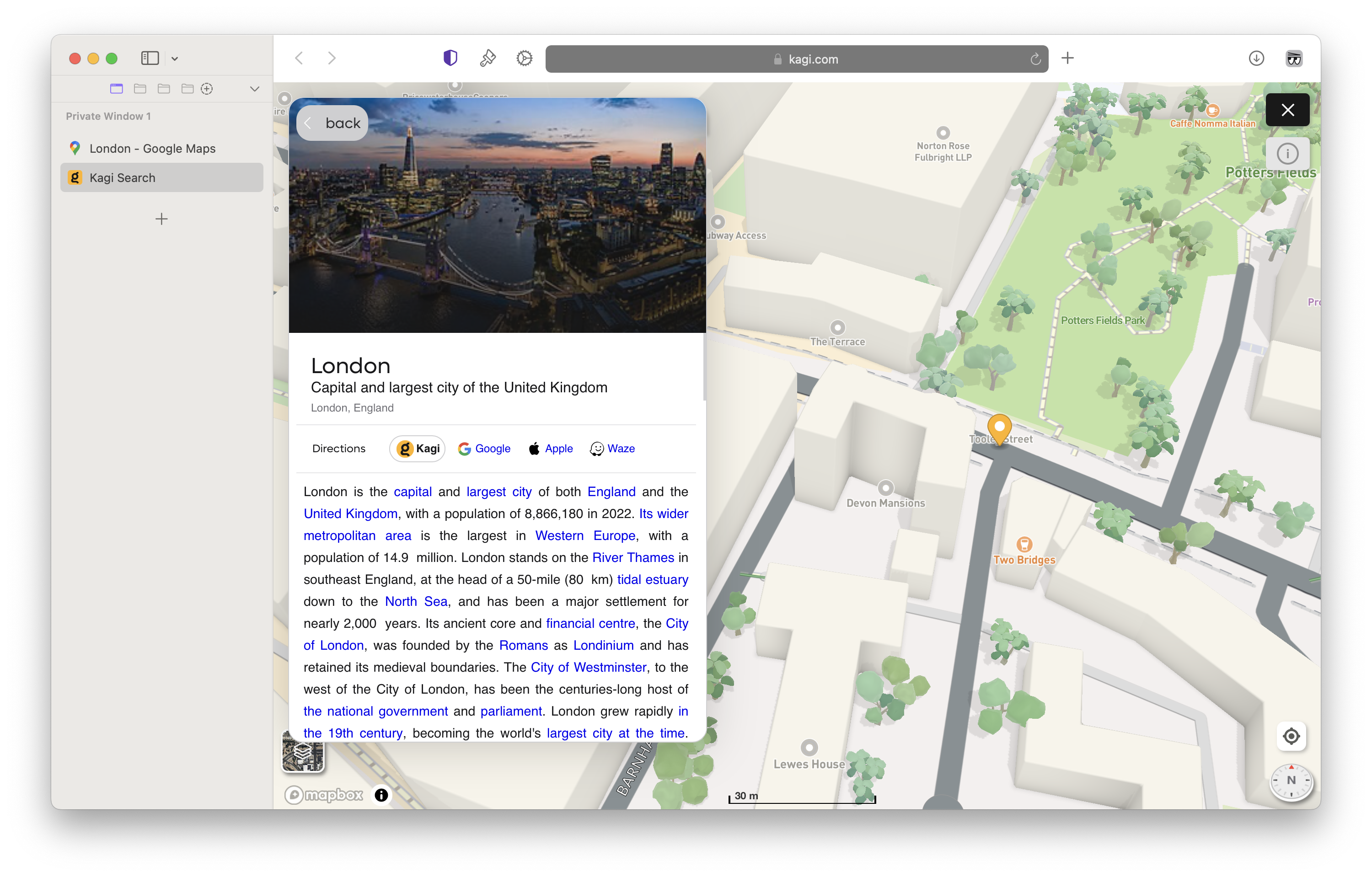
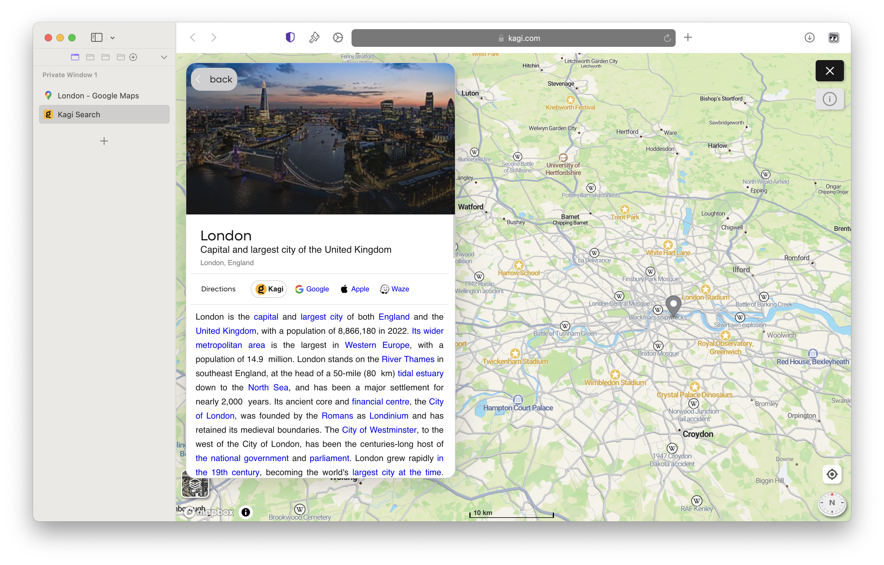
Defining regions is obviously not black and white — it is a subjective exercise that Google has done well at. London, for example, is not classed as a region, whereas Greater London is. For the way London is displayed, see below. The same zooming issue applies here too.
London, Google
London, Kagi Initial
London, Kagi Zoomed Out (zoomed out manually to an arbitrary point by me)
On outlines — this makes it easier to see the region relative to the area around it.
On zoom — this makes the UI more rational and usable.