I'm excited to see the new kagi basemap!
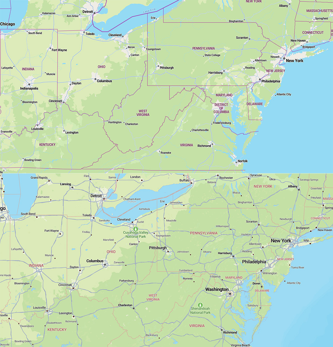
I moved to the North-East of the US a few months back and regularly zoom out of the map just to pinpoint things at a high level. I was hoping that the new Kagi basemap would help me see state boundaries more clearly (see the collage below)
Apple Map vs Kagi for comparison (thanks for the toggle, super useful!):

My impression is that at that scale the roads get less relevant (who uses them for navigation??), but still attract the eye more than the larger political structures.
Of course, just my opinion, man 🙂