Currently, Kagi only shows elevation (i.e. Hills, Mountains) when zoomed out. When zoomed in, all terrain is flattened. I would love to have the option to show elevation when zoomed in. This would allow for a much more accurate portrayal of a place. Currently, Kagi Maps' 3D buildings allow gaining a good impression of a place, how it looks and how to navigate it, but this is often misleading when things look like they're easy to reach, when there's actually elevation in between.
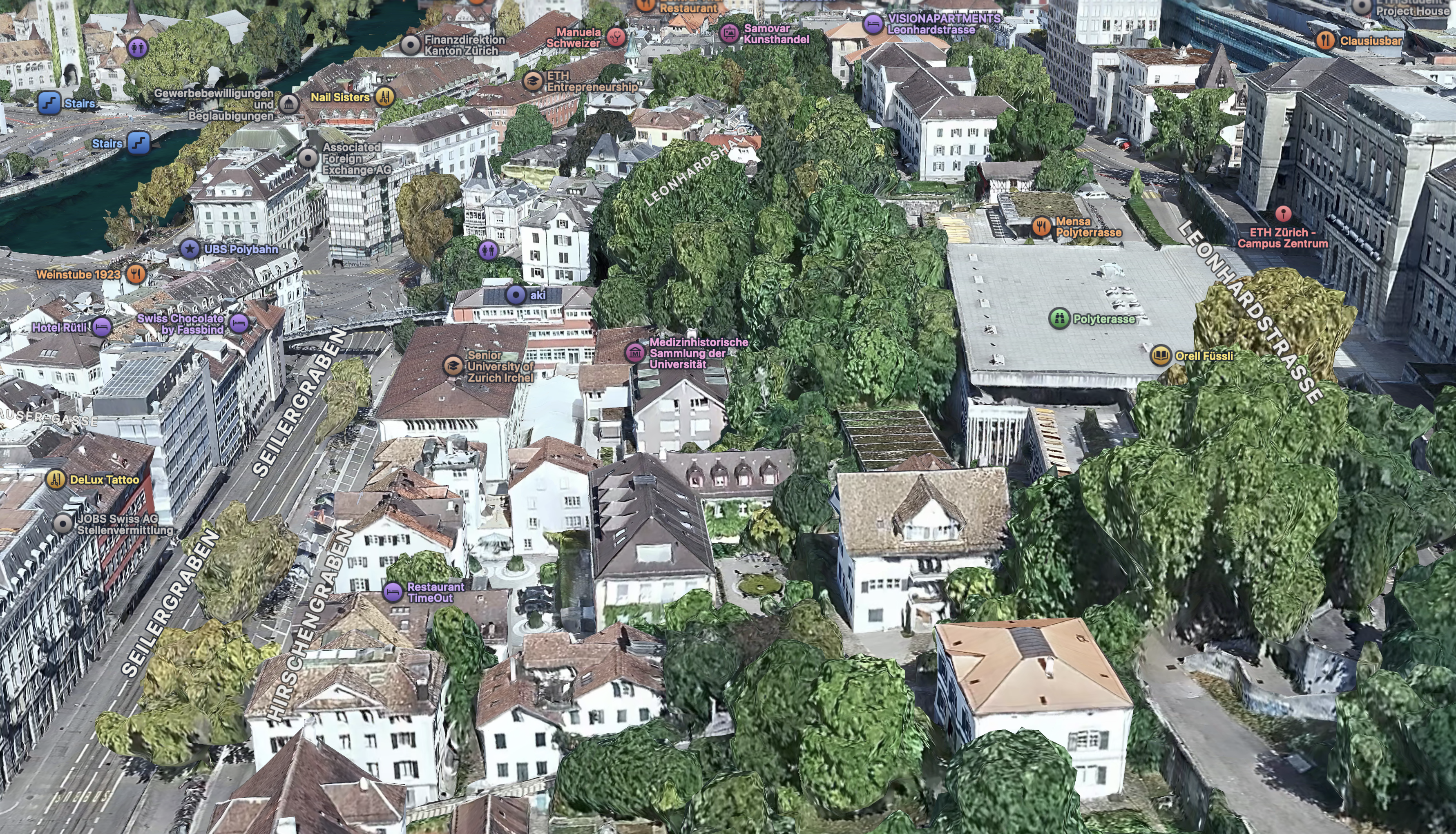
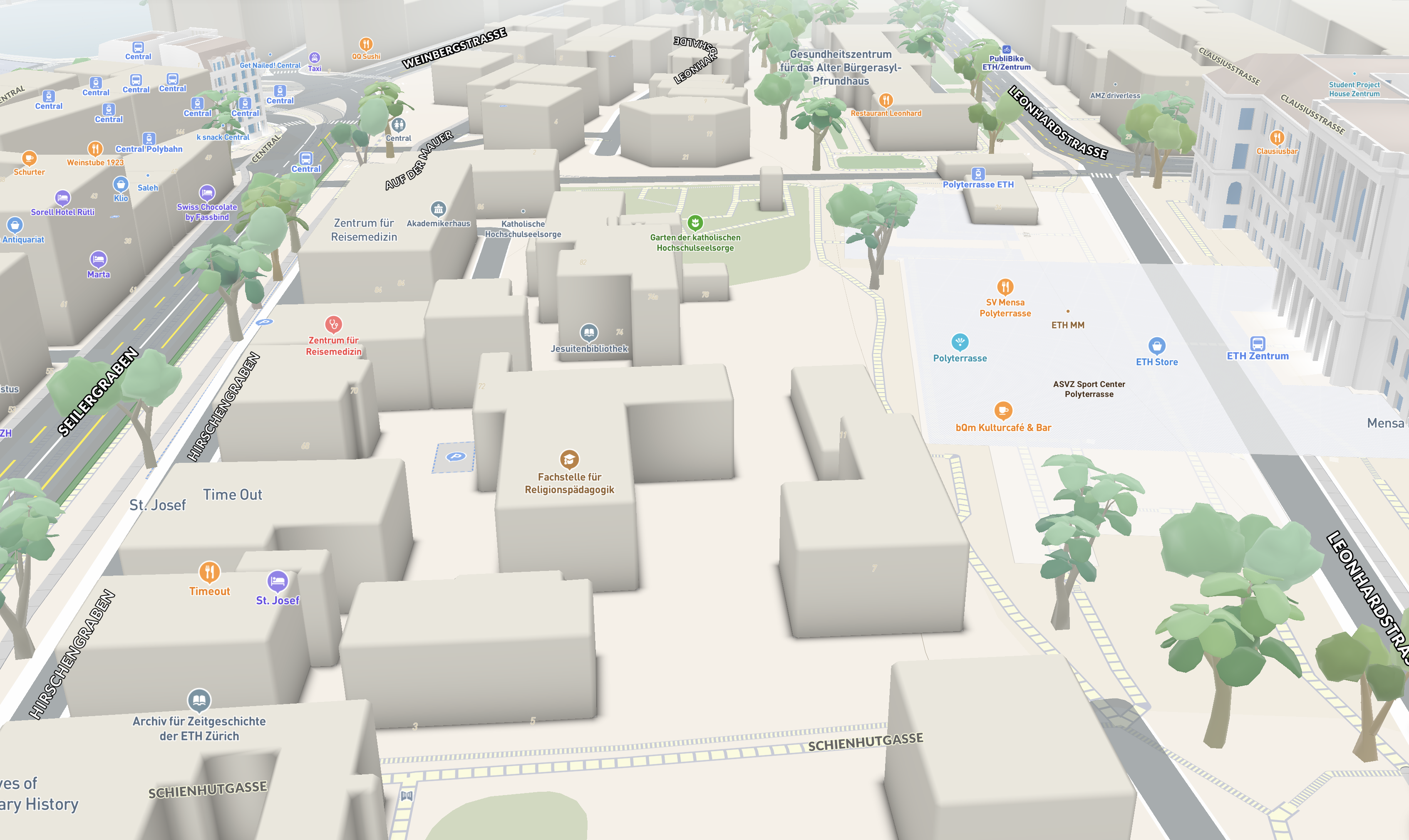
Elevation when zoomed in (combined with 3D buildings & trees) would allow for better exploration of places and users could get better impressions of routes they have planned out.
Also, sometimes the elevation appearing when zooming out can be very jarring.
Maps are useful for getting an impression of a place. I frequently look at places I'm going to beforehand on a map so that orienting myself is easier when I get there. Kagi's 3D buildings already allow getting pretty good impressions of places, but especially hilly cities are misrepresented when no elevation is present.
Current implementations of this exist in the form of Google Earth and Apple Maps' 3D cities. Those use actual 3D scans though, which is much noisier. I don't know of another maps provider that shows elevation in combination with 3D buildings. I don't know if mapbox can even do that...
